

Public Water Supply

Water Allocation Permitting and Compliance
We work extensively with the New Jersey and Pennsylvania Departments of Environmental Protection (NJDEP/ PADEP), the New Jersey Geologic Survey (NJGS) and the Delaware and Susquehanna River Basin Commissions (DRBC/SRBC), and have successfully permitted over a billion gallons of annual water allocation for clients.
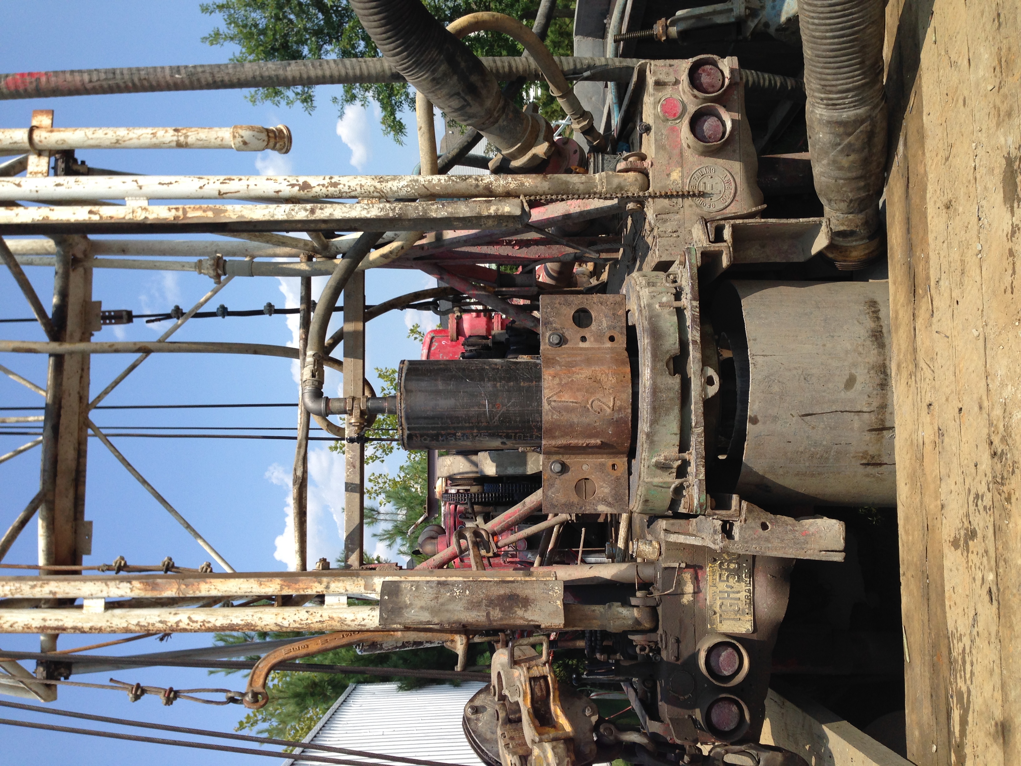
Water source siting and development
Prepare aquifer test plans, including desktop and field investigations to evaluate local and regional geology, water quality, recommended target aquifer exploration and development, inventory potential environmental constraints and coordination with regulating agencies to obtain approval on ground water and surface water exploration and testing programs.

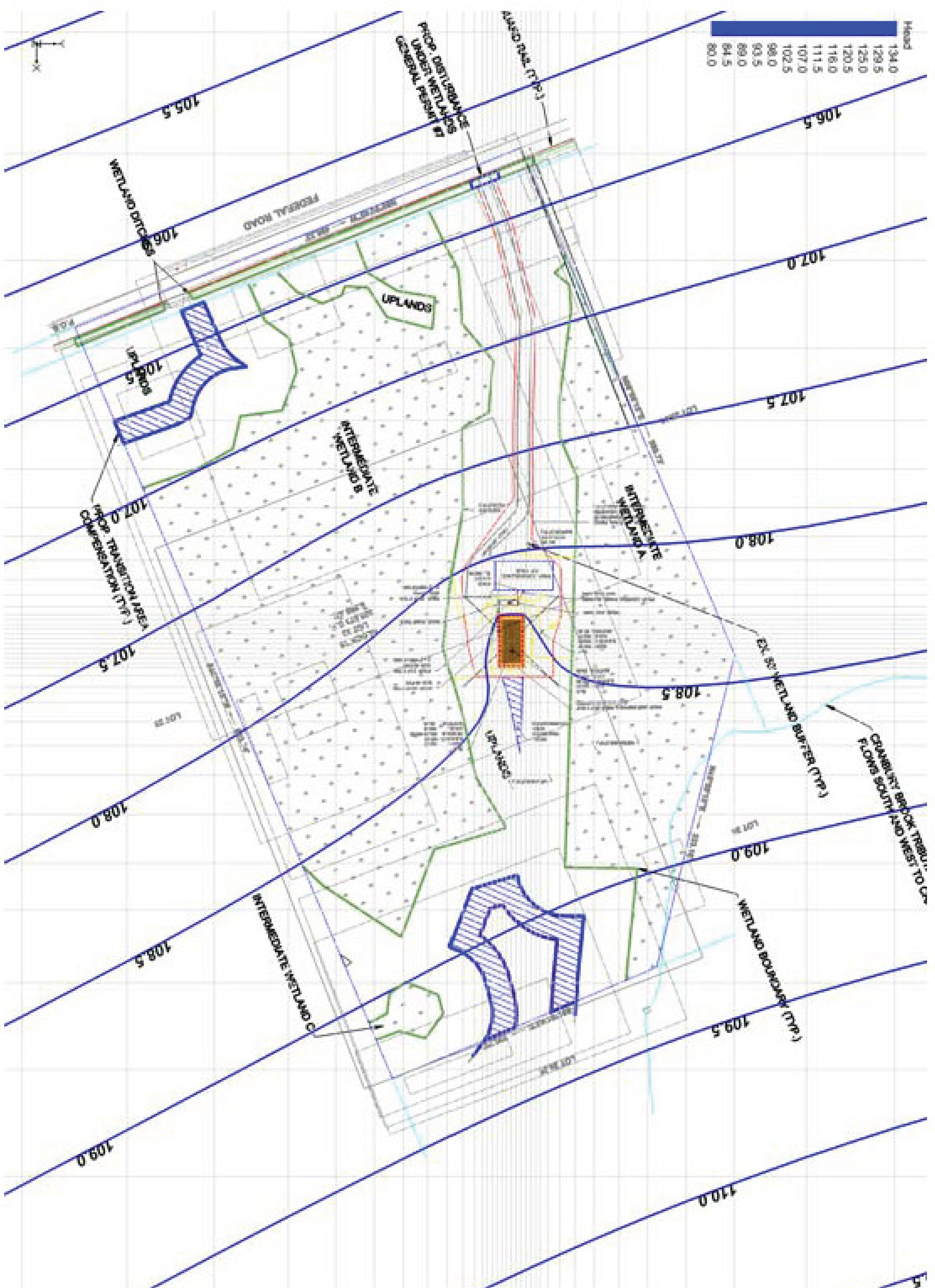
Hydrogeologic Investigations
Coordination with New Jersey Department of Environmental Protection (NJDEP), and the Delaware River Basin Commission (DRBC) to permit new and/or expanded ground water and surface water withdrawal, replacement of ground water supply, development of surface water intakes. Services span the initial siting of source locations, and property acquisition, pre-application meetings with regulating agencies, development of scope, schedule, costs and specifications, site meetings and oversight of contractors, assembly and review of data collected and preparation of final hydrogeologic reporting and permit application submissions, comment and response documents, attendance at public hearings and final permit condition review, followed by ongoing future compliance activities as required.
Ground Water Modeling
Create ground water flow and contaminant transport models, primarily using the Ground Water Modeling System (GMS) software for the purpose of characterization of local site-specific and regional flow for the application of water resource assessment and impacts of groundwater withdrawals/injections. We have constructed contaminant transport models using MT3D for single species, and RT3D for multi-species, predicting transport and degradation. We have constructed and modified several ground water models based off the USGS Regional Aquifer Simulation Analysis (RASA) framework to evaluate proposed allocations in the confined (Potomac-Raritan-Magothy) aquifers in NJ – both Critical Areas Nos. 1 and 2.