Surveying and mapping services are provided both as supporting elements for hydrogeologic and water supply projects, and standalone services.
Our Services Include:
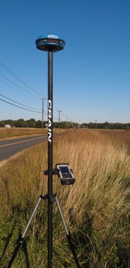
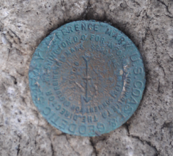
GPS and control surveys
Topographic and engineering support surveys
Boundary and location surveys
Monitoring well location/Form B surveys
Our Services Include:
GPS and control surveys
Topographic and engineering support surveys
Boundary and location surveys
Monitoring well location/Form B surveys
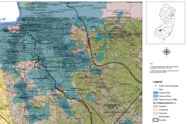
GIS Mapping and Analysis
East Latitude, LLC uses a comprehensive and organized inventory of spatial data to readily create GIS mapping for a range of uses, from broad project scoping and feasibility, to detailed site-specific studies.
East Latitude, LLC uses a comprehensive and organized inventory of spatial data to readily create GIS mapping for a range of uses, from broad project scoping and feasibility, to detailed site-specific studies.